
₹1,400.00
Nirmaan Activity for the Month of October 2026
Level: Nirmaan
Trek Destination: Torna via Met-Pilaware
Date:
Group A: 4th October 2026
Group B: 18th October 2026
Fees: ₹1,400/-
Reporting Time: 06:00 AM
Reporting Venue: GGIM Office, Apte Road
Return Time: Will be updated by the instructors during the trek.
For any queries, please contact:
9284863609 / 7058823528
Thanks,
Team GGIM
- Description
- Additional information
- Payment Terms
- Fees Include & Exclude
- Trekking Attire
- Things to Carry
- Learning Content
Description
Nirmaan Activity for the Month of October 2026
Hello Adventure Enthusiasts and Parents,
Please find the details of the upcoming trek below:
Level: Nirmaan
Trek Destination: Torna via Met-Pilaware
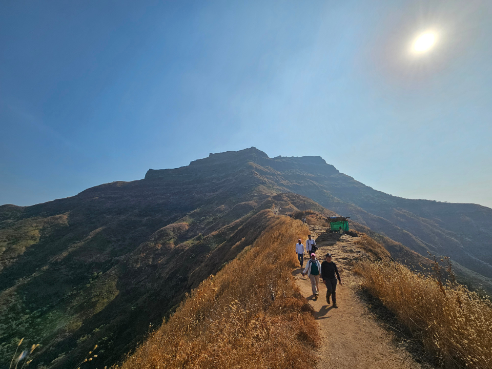
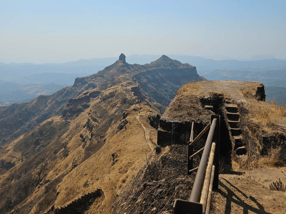
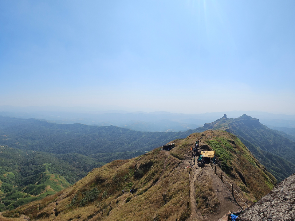
Torna Fort, also known as Prachandagad, is a historic hill fort located in the Pune district of Maharashtra. Situated at an elevation of approximately 1,403 metres (4,603 feet) above sea level, it is regarded as the highest fort in Pune district. The fort holds an important place in Maratha history as it was the first fort captured by Chhatrapati Shivaji Maharaj in 1646, at the age of 16.
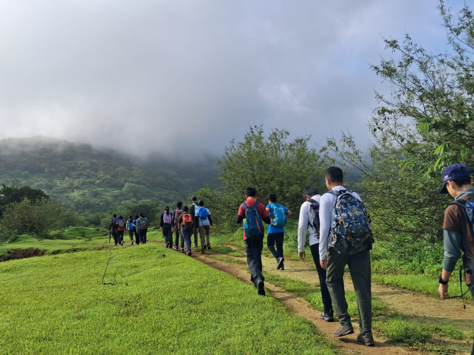
The trek to Torna via Met-Pilaware offers participants an opportunity to experience the diverse terrain of the Sahyadris while exploring one of the region’s historically significant forts. Along the route, participants will develop endurance, navigation and outdoor skills while learning about the fort’s history, geography and strategic significance.
Date:
Group A: 4th October 2026
Group B: 18th October 2026
Fees: ₹1,400/-
Reporting Time: 06:00 AM
Reporting Venue: GGIM Office, Apte Road
Return Time: Will be updated by the instructors during the trek.
For any queries, please contact:
9284863609 / 7058823528
Thanks,
Team GGIM
Additional information
| Trek Date | 4th October 2026, 18th October 2026 |
|---|---|
| Batch | A, B |
Payment Terms
- Last day for payment – 3 days prior to the trek date
Please make all payments only through our official website payment gateway. Payments made through QR codes, UPI, bank transfer, or any other method outside the website will not be accepted. To avoid any issues, kindly complete your payment directly on the website.
- Cancellation Policy for One Day Treks
1. Cancellation will be considered only when you send an official email for the same to ggimpune@gmail.com.
2. If cancelled 3 or more days prior to the trek, entire fees will be refunded or carried forward.
3. If cancelled 2 days prior to the trek, 70% of the paid amount will be carried forward only towards next scheduled activity or refunded.
4. If cancelled within 2 days prior to the trek, 30% of the trek fees will be carried forward only towards next scheduled activity or refunded.
Fees Include & Exclude
✔️ Fees Include
- Transportation from the designated pickup point to the trek location and back.
- Guidance and supervision by qualified trek leaders and instructors.
- Outdoor learning sessions conducted as part of the ANU curriculum.
- Use of technical equipment, where required.
- First aid support throughout the trek.
- Snacks and refreshments during the return journey.
❌ Fees Exclude
- Breakfast, lunch, or any personal refreshments.
- Transportation to and from pickup and drop before the reporting time and after the trek concludes.
- Any personal expenses or items not specifically mentioned under “Fees Include.”
- Any medical expenses incurred beyond the first aid provided during the trek.
Trekking Attire
- Full Sleeve Tshirt
- Full Trackpants
- Cap
- Buff
- Shoes and Socks
Things to Carry
- Packed breakfast and lunch
- Day Pack (Sack of approx. 20-30 l)
- Water 2 litres (Carry extra water)
- GGIM Cap
- Pen & Notebook (Compulsory)
- Extra Pair of Clothes
- Shoes (Trekking Shoes with Hard Sole)
- Jacket/Warm Clothes
Learning Content
Related products
-
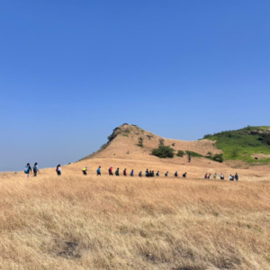
Avhaan Advance – OCTOBER
₹1,300.00 Enroll For the Course This product has multiple variants. The options may be chosen on the product page -
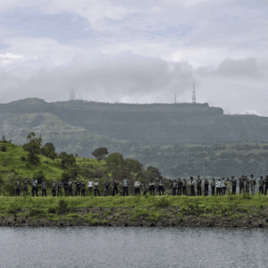
Nirmaan Advance – AUGUST
₹1,400.00 Enroll For the Course This product has multiple variants. The options may be chosen on the product page -
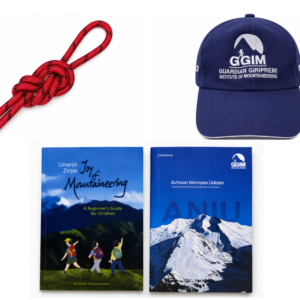
Avhaan Nirmaan Udaan Kit
₹700.00 Enroll For the Course This product has multiple variants. The options may be chosen on the product page -
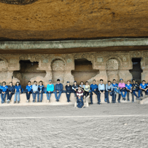
Nirmaan Advance – OCTOBER
₹1,400.00 Enroll For the Course This product has multiple variants. The options may be chosen on the product page